Project leader:
Makó, András
Participating researchers:
Pásztor, László; Kocsis, Mihály; Bakacsi, Zsófia; Barna, Gyöngyi; Hernádi, Hilda; Tóth, Brigitta; Mészáros, János; Szatmári, Gábor; Takács, Katalin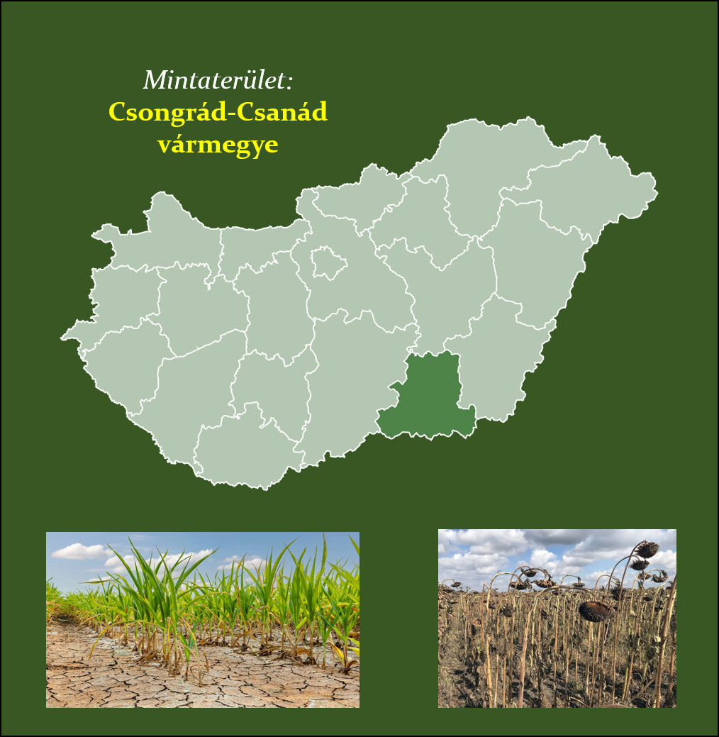


From an agricultural point of view, one of the most important consequences of climate change is an increase in the frequency of extreme water stress events. Knowledge of soil water management is the basis for assessing and conserving water resources potentially stored in soils. The water management of soils is determined by their hydrophysical properties (water retention and water conductivity), and in the future it will be essential to collect data on this in a targeted manner and to develop estimation methods based on easily measurable soil parameters. Our preliminary research experience in national (NKFIH OTKA K 48302; K 62436; K 119475; K 134563; TÁMOP-4.2.2.A-11/1/KONV-2012-0064) and international projects (FP7-SPACE-2010-1/263188; NKM-108/2017; NKM 2019-17) shows that the same weather conditions on different soils and different crops produce different “drought or inland water sensitivity”.
The construction of national water management maps and hydrophysical databases, integrated into modern spatial information systems, providing reliable information on deeper layers of soil beyond the surface layer, can support the prediction of extreme water balance situations and the mitigation of the damage they cause more effectively than ever before.
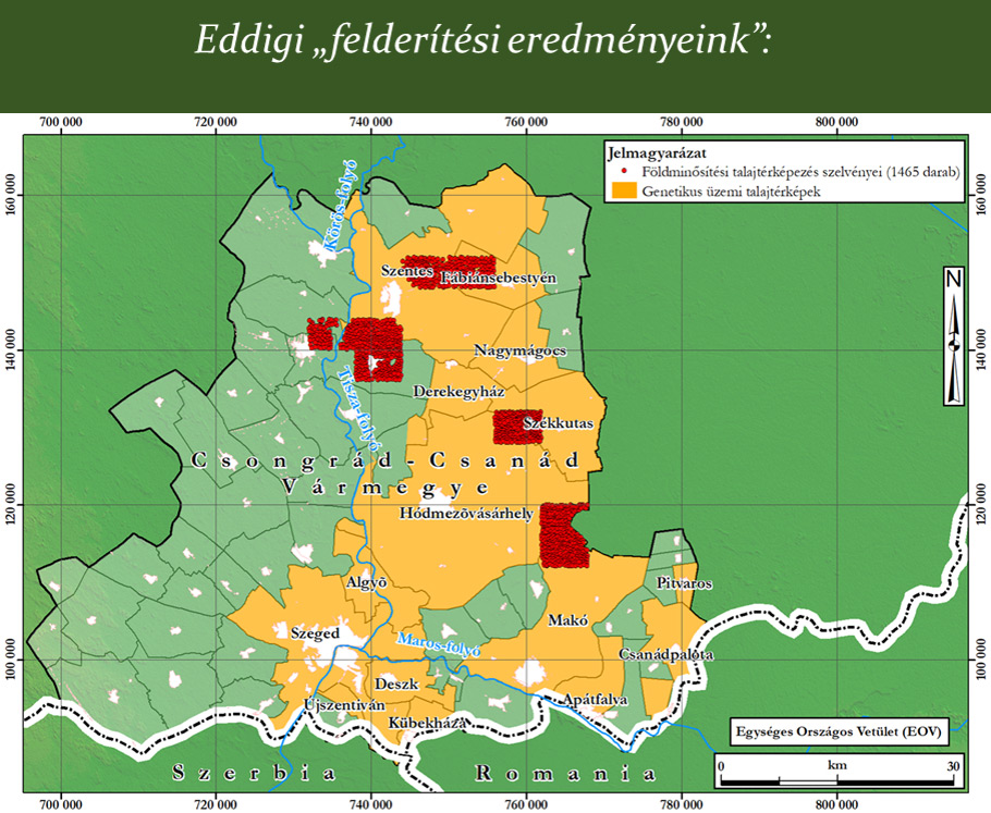
The 1:10,000 map material and accompanying textual explanatory notes, which can be found and still preserved on paper in various map repositories (successors of the former large agricultural enterprises, county plant protection and agrochemical stations, and land offices), provide essential and missing soil information on the state of our farmland. The steps of the planned work are: (1) Collection of 1:10,000 soil maps, textual explanations, laboratory test reports, data recording, geo-spatial processing for selected regions (Southern Great Plain); (2) Preparation of soil base maps; (3) Preparation of thematic hydrophysical-water management target maps; (4) Drought and inland water sensitivity modelling, mapping.
Completion of the planned tasks can provide essential information for e.g. the development of the planned Operational Drought and Water Scarcity Management System, the basis for irrigation investments or the further development of the methodology of the current inland water vulnerability map. A more detailed knowledge of the hydrophysical properties of soils could be used to develop natural water retention measures, groundwater resource modelling, agricultural water management policy programmes or to predict expected soil movements in response to weather extremes, using national spatial data.
The maps could also help farmers to develop good soil management and conservation practices. We intend to implement a pilot project in a selected area of the Southern Great Plain, which could serve as an example for further national-level exercises.