Continuous monitoring of the health status of vineyards is essential for gaining a deeper understanding of plant physiological processes and for optimizing agricultural management practices.
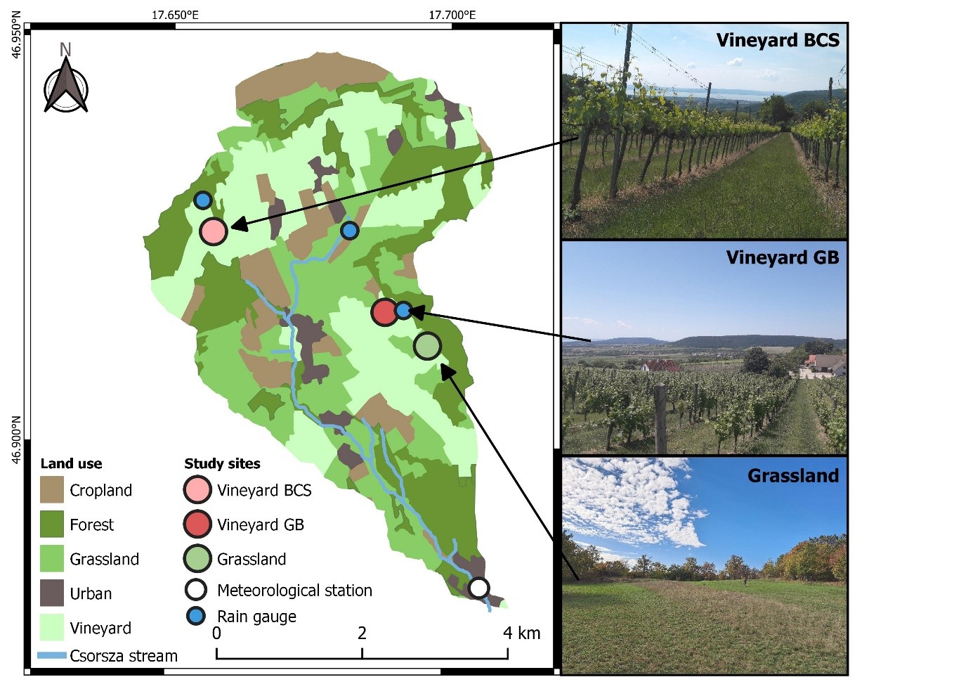
Researchers from the HUN-REN ATK Institute for Soil Sciences studied the development of vegetation health indices at three research sites within a small catchment area in the Balaton Uplands. They paid particular attention to the temporal dynamics of the Normalized Difference Vegetation Index (NDVI), an indicator that provides information on vegetation density and health based on the ratio of near-infrared and red reflectance.
During the two-year study, field-based instrumental measurements and satellite remote sensing data collection were carried out simultaneously on two vineyards and a grassland site.
The aim of the research was to refine the values of satellite-based vegetation indices, which provide wide spatial and temporal coverage but low spatial resolution, by integrating data obtained from field measurements, using machine learning methods.
The results showed significant differences in vegetation indices between the study sites, primarily explained by variations in the chemical composition of the soils. The NDVI values derived from satellite and field measurements were strongly correlated. The machine learning models used in the study performed well even with basic input data. The researchers also demonstrated that the performance of each model improved significantly when data from the grassland area was included, illustrating that the method can be used to obtain more accurate values for the health status of grass covered inter-row managed vineyards.
Tovább a cikkhez: Scientific Reports